DESIGN AND CONSTRUCTION PRODUCTIVITY SUITE
AOTOM’s Productivity Suite is designed to meet your needs from site-mapping to closeout. Everything you need and anywhere you need it, available through a single-source provider.
Scalable
Use these tools and services – standalone or combined – on one job or many – to multiply the impact of your projects.Comprehensive
This single-source of resources seamlessly enhances your project workflows and fills the gaps.Smarter
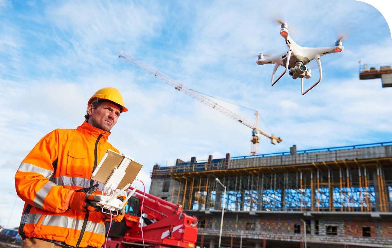
Improve performance at every stage of the project lifecycle with increased intelligence - driving smarter decisions.90% of large infrastructure projects and 50% of small projects experience cost overruns. While some project delays may be unavoidable, regularly using drones to monitor site progress can proactively identify potential issues before they escalate into major problems—causing rework and delays that prevent projects from being delivered on time and within budget.
Drone data and images offer a critical 360° view of your jobsite during construction that can’t be matched by conventional methods and stationary photos.
Keep all stakeholders updated, equip marketing to showcase projects and provide project managers actionable jobsite intelligence to prevent errors, reduce costs and minimize safety risks.
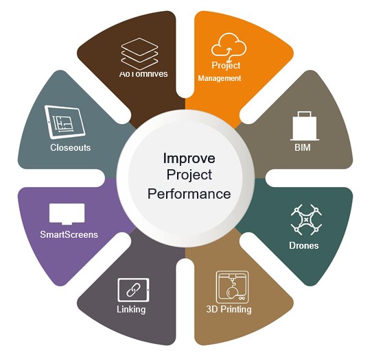
AOTOM’s Design and Construction Productivity Suite is built to meet your needs from site-mapping to closeout. Everything you need and anywhere you need it, available through a single-source provider.
The power of the Productivity Suite is realized when a combination of complementary tools and services help you aggregate project intelligence to track project progress, monitor job-site conditions and proactively detect design and constructability issues.
Exponential layers of value in the form of increased productivity, shareable project intelligence and reduced costs are realized as additional solutions are put into use.
A single source, nationwide reach
Access our network of more than 15,000 commercially-licensed drone pilots in North America.Faster deployment and delivery
Pilot procurement and data delivery are optimized to deliver imagery and video in as little as 24 hours.Safe and compliant operations
Licensed and insured operators fly missions under the applicable regulatory protocol required by the FAA.On -demand drone services for every stage of your project
-

Document progress for periodic project reporting and improve visibility to all team members.
-
Capture site conditions more efficiently and consistently and share with project teams.
-

Conduct visual inspections of project sites including high-risk areas and reduce health and safety risks.
-

Utilize aerial photos and videos for social media, website and community relations.
-

Capture Pre-bid data for integration with 3D designs,animations and renderings.
-

Aerial inspections identify safety compliance, structural, and other safety hazards in real-time.
-

Acquire mapping data for marketing, project pursuits, Civil 3D models, and volumetric calculations.
-

Produce 3D Models with Drone-generated point cloud data at a lower cost than ground-based mapping methods.
-

Roof and structural facade inspection data drives analysis and early issue detection.